
How I Made the Map of Trexlin (And Why There’s a Sculpture on My Wall)
How I came about with the Map for the World of Trexlin.
WORLD BUILDING
6/24/20251 min read
Roughly 20 years ago, I started building the world of Trexlin—not with some grand plan, but with a small patch of land for a tabletop RPG campaign. You know how it goes: players were supposed to stay in the village and fight goblins. Naturally, they wanted to cross mountains, chase rumors across deserts, and ask intrusive questions about towns that didn’t exist yet.
So I did what any GM with too many dice and not enough prep time would do: I started sketching. A forest here, a road there, and—voilà—a very crude map was born.
But then I saw this incredible map online by a Canadian artist named William McAusland. It was like someone had pulled a fantasy realm out of my head and sculpted it into reality. Which, it turns out, is exactly what he did. I reached out to William, and he explained his process:
“Start with a sketch, sculpt the terrain onto a board, paint it, photograph it, then tweak it in Photoshop.”
Naturally, I said, “Take my gold, wizard.”
And just like that, Trexlin became a real, physical object—a painted, sculpted map that still hangs proudly on the wall of Dragon Distillery (right next to where we keep the Special SPirits - and questionable life choices).
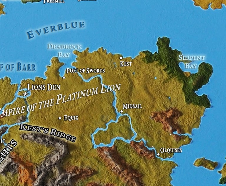
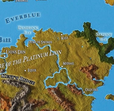
From there, it was a slow burn—adding place names, ports, ruins, roads, and the occasional ominous-sounding shrine. Over the years, the map grew into something richly detailed: countries, capital cities, trade routes, weather patterns, forgotten temples, and a suspicious number of “Here Be Something Terrifying” zones.
So next time you’re exploring Trexlin—whether through the novel, the podcast, or a drunken tavern tale—know that the land you’re walking on was once a lump of sculpted clay, fueled by caffeine, chaos, and the eternal cry of:
“But what’s past the FarBlue?”